Sunday, March 27, 2011

GLENBROOK CREEK


Kayaking websites have become my new favorite tool for bushwalking. I find myself searching through them for new areas to packraft. They give a great insight into which rivers and creeks can be run, at what heights and grades.

I have been looking around for easily accessible creeks to run that don't require long drives, car shuffles and bike loops. Basically, after work type runs and half dayers so I can squeeze in some fun between a fairly hectic schedule.

The biggest problem faced is the fact a lot of local stuff is in an urban area so the runs are often dangerous due to debris and only work when large amounts of rain fall in a short time. Lately I've been racing down to a few of the local creeks after heavy rain to check on some interesting drops and runs in the hope of running them soon.

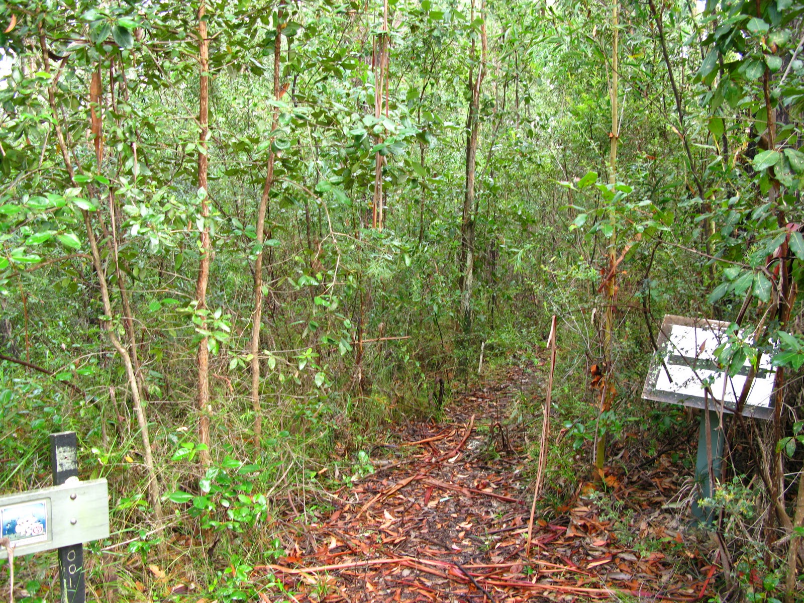
After reading the guide for Glenbrook creek I decided to do a recce for when the water levels come up.
It's 3 K's of grade 4 when it runs properly between .7m to 1.3. See here - Guide

The river gauge has not been accessible on the BOM site for a while, so after 100mm of rain in western Sydney a week prior I figured I'd just go anyway even though it would be back down to low levels. I decided to use public transport as it's quick and convenient.

 Glenbrook station was bustling with bikes as I stepped off the train. The popular Oaks fire trail loop was in full swing as I headed to the park entrance and on down to the causeway. I was quietly hoping that the creek would still be high enough to run but not so.


The causeway gauge confirmed my suspicions but I decided to do the run anyway so I could get an idea of what to expect next time.

I came across this gauge after a few hundred metres and figured it was damaged and probably why the BOM hasn't been updating. The easy access brought plenty of rubbish and graffiti along the 3 kilometer section.


The creek was fairly consistent although some sections were choked with trees. There was barely enough water to run and I portaged a lot. It did give me an idea on what it will be like at higher levels though with some good tight technical rapids at grade 3-4.


Some of the runs will require some careful scouting as this one has a nasty sieve at the top. High water will obviously change the creek drastically.


This rapid was fun although barely runnable at these levels.


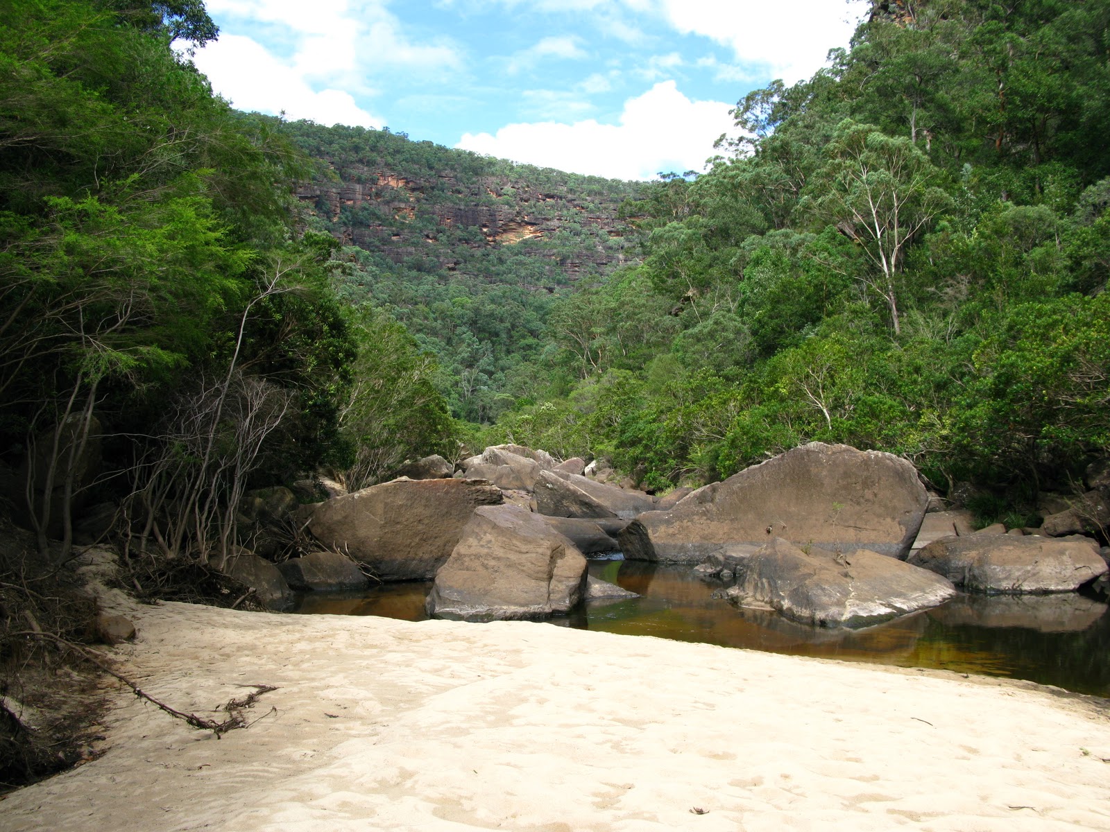
Finally the Nepean river appeared.


After reaching the Junction I paddled back towards the bridge to the take out and walked along the bush track which conveniently ends at Lapstone station. With the next train arriving at 12.19pm I discussed the general decline of the world with an old timer and headed home reasonably satisfied.

A short video of some very bony G1 sections......Bring on the rain!


Untitled from Dibble on Vimeo.

Google maps shows how easy access is.


View Larger Map

Monday, March 7, 2011

CRAWFORDS LOOKOUT TO WOLLEMI CREEK.


I've taken an interest in packrafting the larger tributaries running into the Colo river of late, and decided to check out Wollemi Creek. Within the boundaries of Wollemi National park lies some fairly rugged and difficult country which requires knowledge of the passes which allow you to break through the cliff lines and down to the creeks and rivers.

I had a day set aside to check out a pass from Crawfords lookout down to the creek which is only about one and a half K's upstream from the junction with the Colo river. The plan was to find a suitable exit point for a future trip starting somewhere near the headwaters.

I had a rough guide on the route so with a map in hand, I left the car at the end of the Culoul fire trail and took off at 8.30am. I took the single track, skiers right from the car park which heads out to Hollow Rock before descending back onto the main trail after ten minutes or so.


The signs were void of any legible information, and on the return journey I found the Wollemi Creek sign pulled out of the ground and thrown into the bush. I have my theories..... access to Wilderness areas is a privilege, and some very passionate people will defend it at all cost.

Hollow rock


Lichen


After a few K's I started descending down the ridge towards the lookout. I figured I had the navigation sorted, so away went the track notes as the first of several cairns appeared. The last thing I read was, once at the lookout (which is basically a rock platform at the top of a 300m cliff) head 200m to the right and straight down to the creek.


The lookout.

The view down to the creek and a rather large drop. It had me pondering a Base jump.


I had followed a fairly distinct track which led me to believe I had found the lookout and the pass due to the cairn line descending straight down the cliff 200m to the right. Had I read the last line of the track notes which clearly stated I should be on the south side of the ridge and not to take the track on the north side, I may have found the route slightly more forgiving than the one I took!


I put it down to complacency. I had the impression that there was no break in the cliff line and there was only one way down so I followed the cairns down, scrambling in a zig zag of exposed rock ledges and chutes filled with slippery dry leaves. I had 20m of 9mm and some gear but fortunately (or unfortunately) didn't have to use it.

About half way down I realised the opposite side of the gorge mirrored the one I was scrambling down.


I finally reached the bottom and a nice spot for lunch. I took a few photos and tried to find something distinguishing to locate the pass from the creek. Very difficult but not impossible seeing as the pass is not far from the Colo junction.....and it looks like there are potentially two passes anyway.


An impressive Wollemi creek Gorge.


Climbing up was not as difficult, and when I arrived at the lookout I had the urge to jog back to the car which I reached at 1.30pm.

Now one day later I'm dealing with some very sore legs due to a lack of fitness and a renewed interest in finding the other pass......  All I need is 4-5 days off and some rain, and Wollemi creek may get it's first packraft descent.